
Locate Hanahan Neighbors by Parcel
A block lookup has several distinct layers. Berkeley County GIS gives the map and parcel geometry. The Property Card Search adds assessment and owner fields for one selected parcel. The Register of Deeds provides a recorded party trail when the legal description, owner, or book/page is known. A city file can be requested for one defined address and period. These sources illuminate a block differently, and none is an official roster of all people living near a Hanahan parcel.
| Source | What it shows about a block | Access |
|---|---|---|
| Hanahan Berkeley County Advanced GIS | Parcel polygons, address context, linked property details, layers, and imagery | Find the Hanahan target, then click surrounding parcels manually. |
| Hanahan Property Card Search | Owner, mailing and situs clues, TMS, and appraisal context for one nearby parcel | Search a Hanahan TMS or address; a mailing field is not a household list. |
| Hanahan ROD index and images | Recorded ownership and document trail for a nearby parcel | Use a Hanahan owner, legal description, or book/page rather than a broad block query. |
| Hanahan County voter geography map | Precinct, polling location, representative, and district context | Hanahan address or undashed TMS; no voter-name roster. |
| Hanahan Building & Codes or FOIA | Defined public permit, code, zoning, or administrative file | Hanahan portal account, office contact, or focused request. |
| Hanahan CCPL or SCDAH collections | Dated address or household context when a volume or series covers it | Library or archive research with exact Hanahan locality and year. |
Hanahan lies primarily in Berkeley County, although a small city area is in Charleston County. Confirm the target parcel's jurisdiction before applying a Berkeley County map, property card, or deed record to a particular block.
Map Hanahan Neighbors Parcel by Parcel
Use a click-adjacent method, not a supposed automatic radius list. The County documents address, owner, TMS, street, and parcel search in Advanced GIS, along with parcel selection. Research did not locate an official automatic buffer tool or adjacent-owner export. Begin with the one address that is known, verify its parcel popup, and then choose each surrounding polygon by hand. That keeps the block boundary visible and prevents nearby but unrelated parcels from being folded into the result.
- Search the target Hanahan address, TMS, or street in Advanced GIS and select the Hanahan parcel that matches the physical location.
- Write down the Hanahan TMS, situs address, legal description, and any owner or assessment context displayed for that target.
- Click each surrounding Hanahan parcel polygon separately and record its TMS before opening a different record system.
- Use Property Card Search for a selected Hanahan TMS or address, then compare mailing, situs, and legal-description fields carefully.
- When a recorded Hanahan history matters, search the ROD with the owner, legal description, book/page, or party role tied to that one parcel.
The result is a parcel-by-parcel working list, not confirmation that the recorded names are presently at the Hanahan addresses. For the broader chain along an entire named road, use the Hanahan street directory workflow.
Compare Hanahan Neighbor GIS Views
Advanced GIS and Cloud GIS are both County tools, but they serve different Hanahan block tasks. The desktop Advanced Mapping application supports parcel clicking, tax-map lines, drawing and measurement, basic PDF/JPEG/PNG export, and listed historical aerial years. Those functions make it the better choice for comparing the parcels around a Hanahan address. The Cloud Mapping tool provides a faster mobile route with Hanahan address, owner, TMS, and street search, suggestions, multiple basemaps, and frequently refreshed imagery.
Berkeley County Advanced Mapping is the documented source for a parcel-by-parcel Hanahan block review.
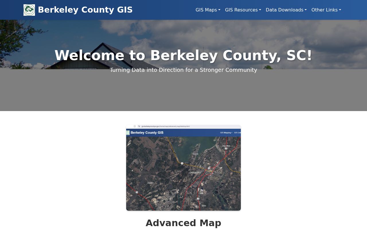
The Hanahan map view supports manual nearby-parcel clicks. It does not produce an official automatic neighbor list.
Insider tip. Use Advanced GIS when mapping Hanahan parcels across a block. Cloud GIS is useful for a quick field search, but the County says it lacks measurement, printing, and historical data.
Both tools can find a Hanahan address, owner, TMS, or street. Only the Advanced view supports the documented measure, print, export, and historical-imagery work needed to compare nearby parcels.
Read Hanahan Neighbor Property Clues
Property information has a narrow but valuable role in a Hanahan block check. A selected card can connect a Hanahan TMS to an owner, situs address, mailing address, legal or subdivision description, assessment facts, acreage or building characteristics, and displayed exemption indicators. The same identifiers can carry the Hanahan search into deed records. A legal description, particularly a lot, block, subdivision, or plat reference, is often more stable than a street label during an older property search.
Myth. An owner name or property-card mailing address is not a list of people at nearby Hanahan parcels or proof that the owner lives at the parcel. It shows a property and correspondence relationship that must be read with its date and source.
Recorded documents have the same caution. A deed can establish that a named grantor or grantee took part in a conveyance, but it does not establish every household member or current occupancy. Use the records to understand the parcel, then confirm important facts with the actual custodian.
Place Hanahan Neighbors in Precinct Context
The County voter map adds civic geography to a selected Hanahan parcel. Enter the Hanahan address or a TMS without dashes to see the precinct, polling location, representative, and political-boundary information. This can explain why nearby Hanahan parcels may be served by different districts. It does not identify voters, provide a block roster, or show anyone's voting choices.
MySCVotes is also not a Hanahan neighbor-browser. The individual registration check requires the person's name, county, and date of birth as it appears on the voter record. South Carolina's separate voter-list process has purchaser conditions and stated selection criteria, but those criteria do not promise a direct Hanahan street filter. A registration record can also reflect a past or inactive status, so it is not proof of present residence.
Note: Precinct information is useful for mapping the block, while a parcel and its legal description remain the better bridge to a land record.
Request Hanahan Neighbor Address Files
For a defined address, Hanahan Building & Codes may be the right municipal contact for a permit, inspection, or code file. The reviewed city material did not reveal a public database for anonymous browsing of every record on a Hanahan block. The Hanahan GovPossible portal requires an account. Give the City the address, approximate date, and file type, then ask which existing records are public and whether an electronic copy is available.
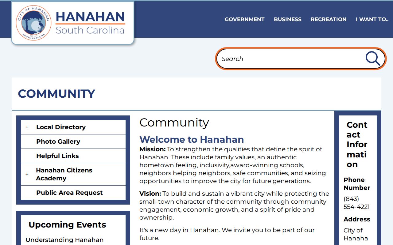
Hanahan's Community page connects users to municipal departments and the permit-related route.
When no posted file exists, use Hanahan NextRequest to make a narrow request. The South Carolina Freedom of Information Act, S.C. Code Ann. tit. 30, ch. 4, especially §30-4-30, provides access to existing public records subject to exemptions; it does not require a new block list to be created.
Find Hanahan Neighbor Association Contacts
No official City, County, or library directory of current Hanahan associations, homeowners groups, civic-club members, block-watch participants, or congregation rosters was located in the research. That is an important access gap. Do not treat a subdivision, place name, meeting notice, parcel ownership, or event location as proof that a person belongs to a group.
| Community lead | What the research supports | Responsible contact route |
|---|---|---|
| Hanahan City community resources | Hanahan department and local-resource routing, not an association roster | Hanahan City Community page for a specific organization question. |
| Hanahan Otranto HOA or civic-club meeting | City notes Fire Station 2 may host a meeting; no group list, officer name, or membership roster is supplied | Ask Hanahan City about a specific public contact, without inferring membership. |
| Hanahan historic neighborhood names | Highland Park, Yeamans Park, Port Park, and Otranto are Hanahan research terms, not group directories | Use a dated Hanahan archive or City source for historical context. |
A direct inquiry about one named organization may be productive, but it should seek the organization's own public contact route, not a compiled list of people on the block.
Use Hanahan Neighborhood Names Carefully
Historic names help place a property in time. Highland Park dates to 1940, Yeamans Park to 1941, and Otranto was annexed in 1976. Port Park and the former Saxon waterworks and rail locality can also appear in background material. A research note should preserve the name and date as found, then connect it to the parcel, TMS, deed description, plat, or archive series.
These Hanahan names do not draw a present membership boundary. They can guide a Hanahan search for a map, council record, deed, or historical volume, but they cannot establish who belongs to a club or who is presently living near the address.
Respect Hanahan Neighbor Lookup Limits
Some information about a Hanahan block is not a general public directory. Utility and delivery records are not public Hanahan address sources, and DMV data has privacy limits. South Carolina's Address Confidentiality Program gives eligible participants a substitute address that state, county, city, and court bodies must accept. Do not infer whether a person participates or attempt to reconstruct a protected Hanahan address from other records.
| Official record route | Commercial neighbor-search category |
|---|---|
| Shows a defined parcel, record date, and custodian | May combine changing sources and matching assumptions |
| Can be checked against the office that holds the record | Does not override a custodian's privacy limits |
| Supports a specific property, map, deed, or city-file question | Should not be treated as proof of present occupancy or group membership |
Lawful use. Use Hanahan neighbor records only for lawful personal research, and verify important details with the holding office. Public information is not permission to watch, harass, threaten, or target another person.
For a qualifying identifier visible in an Internet document image, Berkeley ROD describes a signed, page-specific redaction request under S.C. Code §30-2-330. That request concerns the online image and does not erase the official record itself.