
Hanahan ZIP Code Directory Coverage
The current Hanahan postal directory is centered on 29410. Berkeley County’s address-point data returned 9,336 Hanahan address points with that ZIP on September 1, 2026. That is an operational GIS count, not a count of people, occupied addresses, or delivery points. Two other Hanahan ZIPs are important as historic evidence because a USPS change moved deliveries from them into 29410. Treat each Hanahan result as a date-specific postal or geographic clue.
| ZIP | Verified geography | Postal evidence | Search caution |
|---|---|---|---|
| 29410 | 9,336 Berkeley County address points queried with CITY=HANAHAN on September 1, 2026. | USPS treats 29410 as a Hanahan place name in the cited bulletin and retained Charleston as the P.O. name. | It is not a population, dwelling, or resident count. |
| 29406 | Historical comparison ZIP only. | USPS moved 5,166 former 29406 deliveries to Hanahan, SC 29410 on July 1, 2007. | Do not infer current Hanahan coverage. |
| 29445 | Historical comparison ZIP only. | USPS moved 2,046 former 29445 deliveries to Hanahan, SC 29410 on July 1, 2007. | Do not infer current Hanahan coverage. |
The Berkeley County address-points service supports the local 29410 observation. For a specific Hanahan address, USPS rather than a broad GIS count is the first check for the current delivery convention.
Hanahan 29410 Postal Evidence
29410 is useful for a Hanahan postal check because it connects a present address to an official delivery convention. It is not a substitute for a Hanahan parcel search. A physical address can have a municipal label, a postal place name, and a county parcel jurisdiction that do not match perfectly. The same Hanahan ZIP can therefore be a poor way to choose an assessor, recorder, or court without first locating the parcel.
Postal information and land records answer different questions. USPS validates the delivery address form. Berkeley County GIS and E-911 address data establish physical-address and parcel geography. The property card and Register of Deeds then route a Hanahan land question to the correct tax-map and recorded-document records. Preserve each Hanahan address form exactly when comparing older records.
Hanahan Postal Shift in 2007
On July 1, 2007, USPS reassigned 5,166 deliveries formerly addressed 29406 and 2,046 formerly addressed 29445 to Hanahan, SC 29410. That documented shift is a practical date marker in Hanahan postal research. An older Hanahan letter, deed, directory entry, or file can retain 29406 or 29445 even when the physical place later uses 29410. The historic ZIP alone does not show that a person moved.
Keep the date and the printed locality with the record. Then use the full address, parcel, legal description, or recorded document to connect the older form with the current address. A historical postal label is evidence to investigate, not an automatic conversion rule for every Hanahan record.
Postal reality. A Hanahan ZIP or postal place label is not a municipal boundary and is not proof that a named person lives at that address.
Verify a Hanahan ZIP Code
Use the official USPS form to test one complete Hanahan address before opening a parcel record. The form is designed for address-to-ZIP or ZIP-to-address verification. A postal match confirms an accepted delivery-address convention. It does not confirm the presence of a named person, a business, or a particular public record at that location.
| USPS form field | Use in a Hanahan address check |
|---|---|
| Company | Optional; include only when it is part of the delivery address. |
| Street address | Enter the physical street address being verified. |
| Apartment or suite | Enter the unit when the address includes one. |
| City | Use the city form printed on the address. |
| State | Use South Carolina for a Hanahan address. |
| ZIP Code | Use when checking a known ZIP against an address. |
The USPS ZIP Code Lookup is the official screen for that first Hanahan postal check.
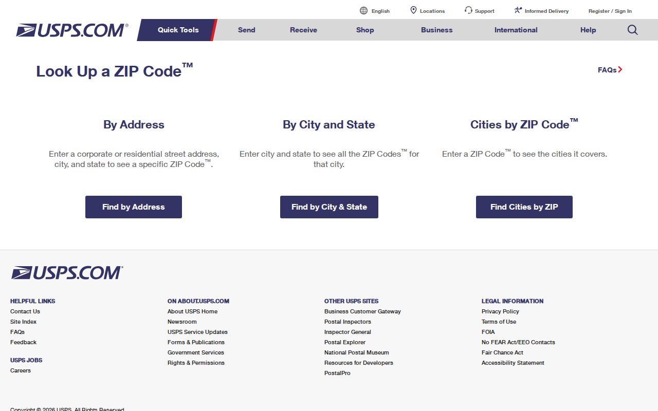
After USPS confirms the address format, retain the exact result for the next Hanahan parcel and deed searches rather than using the ZIP as a stand-alone person search.
Hanahan Postal Address Workflow
A Hanahan postal record check is most reliable when the postal result is followed by the parcel chain. The available county fronts are oriented to Hanahan addresses, streets, owners, or TMS numbers, so the full address becomes the bridge. This documented Hanahan sequence avoids claiming that a ZIP itself can return a resident list.
- Verify the exact delivery form with USPS, including an apartment or suite if present.
- Open Berkeley County GIS Advanced Mapping and search the address, street, owner, or TMS to identify the parcel.
- Record the TMS, situs address, legal description, owner spelling, and parcel jurisdiction shown for the Hanahan location.
- Use the TMS or address in the County Property Card Search, then use party and legal-description details in the ROD if a recorded instrument is relevant.
- For a Hanahan parcel outside Berkeley County, route the request to the correct Charleston County keeper instead of forcing a Berkeley search.
The Advanced Mapping application is the documented countywide bridge from a Hanahan address to TMS, owner, and parcel context.
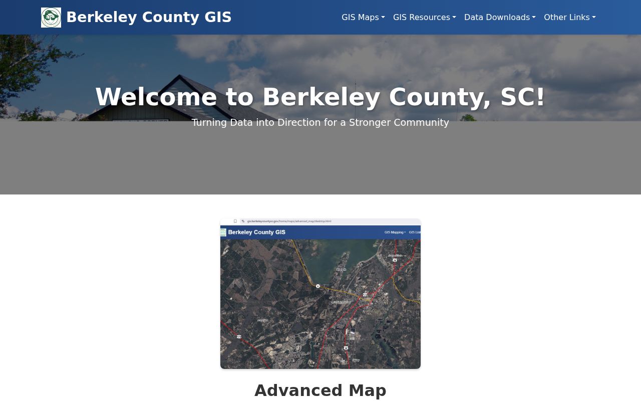
Once the parcel is identified, the Hanahan by-street directory has the fuller address-to-property and deed workflow.
Practical tip. For Hanahan research, verify the exact USPS address first, then use GIS and the TMS before searching the property card or deed system.
Hanahan Postal Search Limits
No verified Berkeley assessor, GIS, ROD, or voter front end offers a ZIP-wide resident or property filter. The Property Card Search accepts TMS, street number and street name, owner name, mobile-home decal, and mobile-home owner inputs. Berkeley GIS is likewise address, street, owner, TMS, and parcel oriented. The ROD is party, date, document, property-description, or book/page oriented.
MySCVotes is also not a Hanahan ZIP browser. Its individual self-service check requires name, county, and date of birth. The County voter geography map can return precinct and political-boundary information for a Hanahan address or TMS, not voter names. The Hanahan ZIP route should therefore narrow a postal address, then hand off to the recorded source that fits the question.
Note: A ZIP is useful for validating an address form, but it does not create a verified ZIP-wide search result in the available county systems.
Hanahan Parcel Record Fields
Three address fields keep a Hanahan ZIP search from mixing unlike records. The situs address is the physical parcel location. The mailing address is where notices are sent. The legal description identifies the land by a lot, block, subdivision, plat, or similar recorded description. A Hanahan property card can show more than one of these fields, and they may differ without indicating an error.
- Situs address
- The physical location of the parcel. It is the best address form for mapping and address-point work.
- Mailing address
- The address used for correspondence. It is not proof that the owner occupies the parcel.
- Legal description
- The recorded land description, such as a lot, block, subdivision, or plat reference, used to keep a parcel trail continuous.
- TMS
- The tax-map number, a county parcel identifier that connects GIS, assessment, and deed research.
Use the legal description and TMS when a historical Hanahan ZIP differs from the current Hanahan postal form. They are more stable Hanahan parcel controls than a city or postal label alone.
Hanahan Postal Boundary Limits
ZIP boundaries, city limits, and county lines serve different systems. Hanahan is principally in Berkeley County, but a small part of the city lies in Charleston County. A 29410 result may still require a parcel check before choosing Berkeley County’s assessor, ROD, court, or election office. A municipal name on a record can also differ from the postal convention used for the same address.
The Hanahan order matters: USPS verifies the delivery convention; County GIS or E-911 identifies the physical address and parcel geography; the county property and ROD systems route land records; city departments hold municipal files. This Hanahan postal boundary check avoids treating the P.O. label as a government boundary.
Hanahan Addressing Office
For a new or disputed Hanahan physical address, Berkeley County E-911 Addressing is the official Hanahan route, not a postal lookup. E-911 assigns addresses to new parcels and structures, maintains the master street-address guide and physical-address GIS layer, and resolves municipal conflicts. Its published contact is 1003 Highway 52, Moncks Corner, 843-719-4113, Monday through Friday from 8 a.m. to 4 p.m.
The Application for Address Information calls for owner and contact details, a municipality or unincorporated-area choice, an optional TMS, new or existing structure information, a required site plan or drawing, type, delivery choice, comments, and signature. The County says address numbers follow the road-facing front door and units run left to right. Keep the site plan, TMS, street spelling, and any older document wording together for a Hanahan request.
Hanahan Postal History Checks
Older Hanahan records may use local terms that need a date check. City history connects the earlier Saxon waterworks and rail locality to the place name, and Otranto was annexed in 1976. These are Hanahan context clues, not automatic substitutes for a street address. The 2007 postal shift is a separate change, so it should be compared with the record’s date before a Hanahan ZIP is updated in notes.
Use a dated postal form, the GIS parcel, TMS, legal description, and the relevant county custodian together. That keeps a Hanahan postal search accurate when an older locality heading, an annexation-era record, or a 29406 or 29445 reference appears.