
Hanahan Previous Residents by Record Era
Most Hanahan address histories start in Berkeley County, but Hanahan has a small Charleston County portion. Confirm the Hanahan parcel's jurisdiction before choosing a recorder or archival series. The table separates access periods and source types because a recorded land trail is different from a household observation. A blank in one row is a reason to move to the next custodian, not proof that nobody owned or occupied the Hanahan address.
| Source | Span | Custodian | Trail contribution |
|---|---|---|---|
| ROD public index and images | July 1, 1983-present | Berkeley County Register of Deeds | Recorded Hanahan party trail and document images in the stated online range |
| Known-reference deed and miscellaneous images | January 1974 onward | ROD book-and-page route | Earlier Hanahan images when accurate recording references are known |
| Plat images and in-office land records | 1884 onward | ROD book-and-page path and counter | Hanahan lot, block, subdivision, and legal-description continuity |
| SCDAH conveyance books | 1870-1964 | SCDAH Berkeley County guide | Historic Hanahan grantor/grantee and title route |
| SCDAH tax duplicates | Auditor 1884-1986; Treasurer 1882-1967 | SCDAH Berkeley County guide | Hanahan taxpayer and property evidence by period |
| Regional city directories | Documented CCPL collection, 1735-present | Charleston County Public Library | Household or address layer only when the volume verifies Hanahan coverage |
| Federal census | Released on the federal 72-year schedule | National Archives and library genealogy databases | Hanahan household and relationship context, not an annual address record |
Begin with the online ROD period if the Hanahan parcel is in Berkeley County and a recent recorded link is needed. For earlier Hanahan work, use an accurate book and page if available, then the ROD counter and the SCDAH series. Directories and released census schedules supplement the land trail; they do not replace it.
Trace Hanahan Previous Residents Through Deeds
The backwards Hanahan deed method follows ownership, not a guaranteed list of people who lived in the house. Start with the Hanahan parcel record's owner, tax-map number, legal description, and cited deed book or page. In the ROD index, the buyer is the grantee and the seller is the grantor. Locate the current buyer as a grantee to find that acquisition. The seller named in that deed becomes the next name to search as a grantee, revealing the seller's earlier purchase. Repeat the buyer-to-seller, then seller-to-prior-buyer cycle while the Hanahan legal description remains continuous.
- Use the Hanahan parcel record to note the current owner, TMS, lot or block, subdivision, legal description, and deed reference.
- Search that Hanahan owner as grantee in the ROD system, using the date, document type, and book or page to select the matching acquisition.
- Write down the seller, or grantor, from the matched Hanahan document and verify that the parcel description is the same.
- Search that seller as grantee to find the earlier Hanahan acquisition, then repeat the cycle backward.
- Stop the Hanahan online sequence at the documented cutoff and continue with a known-reference path, the ROD counter, or archival series.
- Grantor
- The party conveying property in a recorded instrument, commonly the seller in a deed.
- Grantee
- The party receiving property in a recorded instrument, commonly the buyer in a deed.
- Deed chain
- A dated sequence of conveyances linked by the same land description, not a certification of title or a household roster.
- Legal description
- The recorded land description, such as a lot, block, subdivision, plat, or other defined parcel wording. It is more durable than a street address alone.
The ROD does not perform title searches. A Hanahan research chain is useful for history and estate questions, while a legal title opinion requires qualified professional work.
Hanahan Previous Residents and ROD Cutoffs
Berkeley County states that indexing information and images are online from July 1, 1983 to the present. Its ordinary online search can reach covered Hanahan records after disclaimer acceptance, a name and date range, party-role selection, document-type choice, result selection, a detail listing, and the View route. The default date range begins July 1, 1983 when no range is entered. A matching image can be printed, but the ROD cautions that the official record remains at the office and online processing can be incomplete.
Do not reduce all older Hanahan access to a single cutoff. With accurate book and page information, deed and miscellaneous images reach January 1974, and plat images reach 1884. The in-office land-record base begins in 1884. For Hanahan recordings before September 14, 2015, the ROD instructions distinguish older document-type selections from the later Record Book and Plat types. The office also offers document-copy channels by online search, email when adequate information is supplied, telephone, mail, and office visit.
Hanahan Previous Residents Need Parcel Continuity
A Hanahan street address can be abbreviated, revised, attached to a new structure, or recorded under a locality label that changes over time. Keep the TMS, or tax-map number, with the Hanahan legal description, subdivision, lot, block, plat, and deed book or page. Those fields tie an old document to land more reliably than a Hanahan address-string match. A property-card mailing address is for notices and is not evidence that its listed owner currently lives at the physical parcel.
The Berkeley County GIS Advanced Mapping application supplies the documented address, owner, street, TMS, and parcel search bridge for the county's Hanahan parcels.
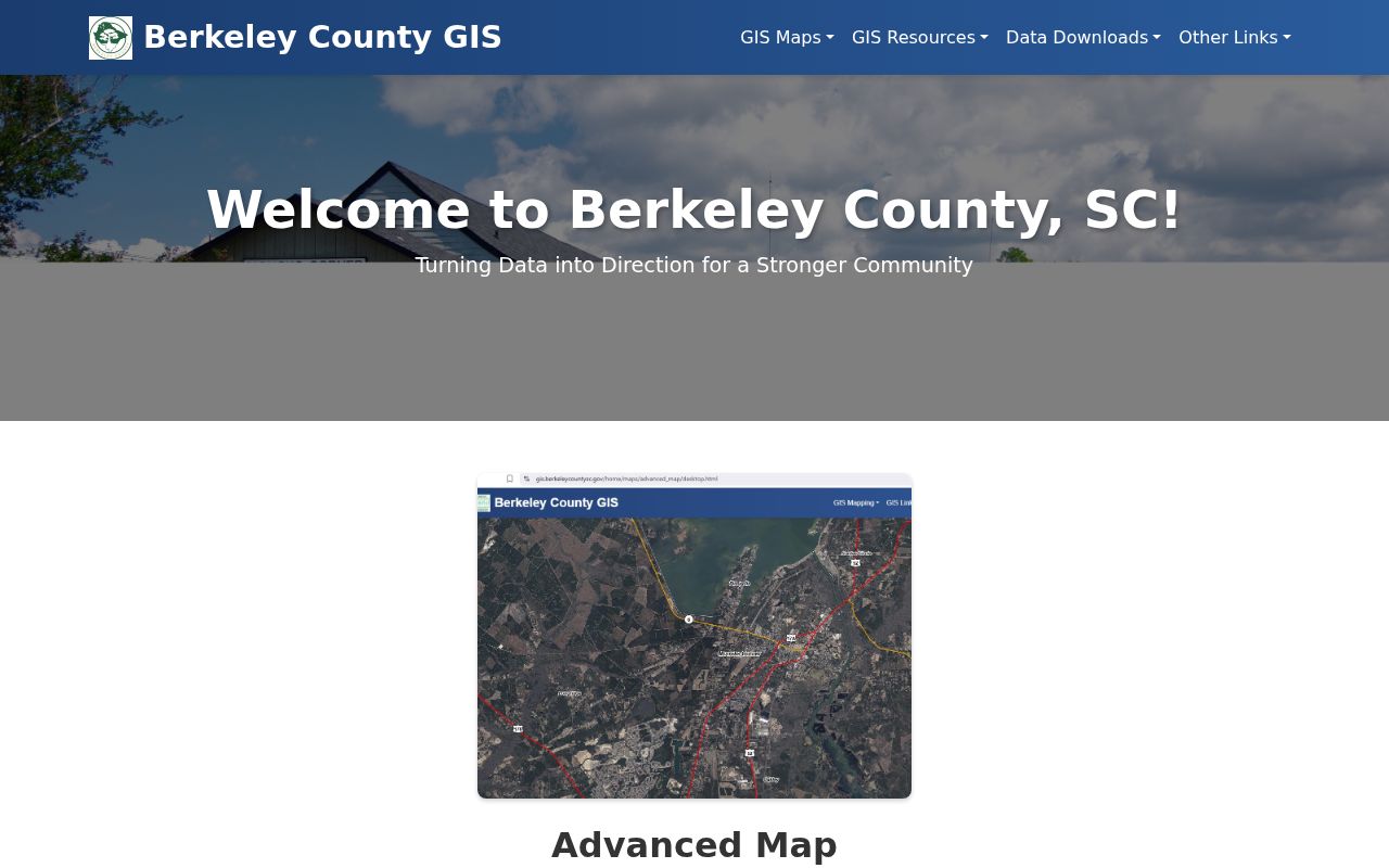
Clicking a Hanahan parcel can connect the physical address with tax-map geometry and property-linked information. If that parcel is in Hanahan's Charleston County portion, select the appropriate county custodian rather than assuming Berkeley County controls the document.
Note: Record the source date with every TMS and legal-description check because current map and assessment displays are not historical occupancy records.
Hanahan Past Residents in Directory Years
After a Hanahan deed establishes a land connection, regional city directories can add a dated household observation if the volume actually covers Hanahan. Check its alphabetical section, Hanahan street section, locality heading, exact street spelling, and house number. CCPL documents street listings regularly from 1890 forward and a street cross-index in 1840, while the later address-first Charleston criss-cross volumes listed for 1977 and 1989-95 require in-person coverage confirmation. The collection is helpful, but no separately published Hanahan directory or all-years Hanahan run was verified.
The CCPL City Directories collection is the external starting point for a dated household observation.
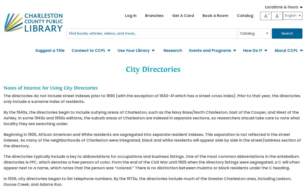
Compare adjacent available Hanahan editions with federal census material released under the 72-year schedule. Keep each Hanahan result tied to its year rather than treating it as a statement about the present. Detailed coverage and how to read the books belong in the Hanahan city directory collections.
- Match the Hanahan deed or parcel date to a nearby available directory edition.
- Record the Hanahan edition, heading, street, number, and exact printed name.
- Check the surrounding available Hanahan editions, allowing for the R. L. Polk no-publication years.
- Use a released census schedule to test Hanahan household or relationship context at the appropriate time.
Hanahan Previous Residents After Deeds End
SCDAH's Berkeley County guide supplies the longer Hanahan historical route when online land searching reaches its limit. Conveyance books span 1870-1964. Auditor tax duplicates span 1884-1986, while Treasurer tax duplicates span 1882-1967. Plat books cover 1885-1958, real-estate mortgage books 1880-1969, probate will books 1882-1956, and estate papers 1883-1998. Each Hanahan series answers a different question. Tax material can supply taxpayer and property evidence; estate material can show administrators, heirs, inventories, and property transitions.
The South Carolina Department of Archives and History research route is the starting point for archive and genealogy access beyond the modern online deed index.
Bring the Hanahan parcel description, date range, known book or page, variant locality name, and the specific record group sought. A focused Hanahan request helps archive staff distinguish a conveyance question from a tax, probate, or map question.
Hanahan Previous Residents and Place Names
Historic locality wording can make the same Hanahan land look different in a directory, deed, or archive index. Hanahan city history connects the name with a 1903 pumping station and a rail locality formerly called Saxon. Saxon is a useful Hanahan historical search synonym, but it should not be substituted mechanically for every old address. Otranto first appears on a 1785 deed in the city's history material and was annexed in December 1976. Preserve the Hanahan wording and date found in each source, then connect it through parcel evidence.
Hanahan postal history adds another trap. On July 1, 2007, USPS moved 5,166 deliveries formerly addressed 29406 and 2,046 formerly addressed 29445 to Hanahan, SC 29410. An older Hanahan 29406 or 29445 reference can therefore describe the same physical place as a later 29410 reference. That postal change does not prove that a Hanahan household moved. It also does not decide Hanahan county jurisdiction, which remains a parcel question.
Hanahan Previous Residents and Council Minutes
SCDAH identifies Hanahan City Council minutes for 1952 through 1978 on one microfilm reel. Use them for Hanahan civic context such as a dated municipal action, development reference, or locality history around an address. Do not use a Hanahan mention in the minutes as proof of occupancy. A speaker, owner, petitioner, or address reference may have a different relationship to the place than a household member.
The Hanahan municipal-record guide at SCDAH identifies the historical Council-minute reel.
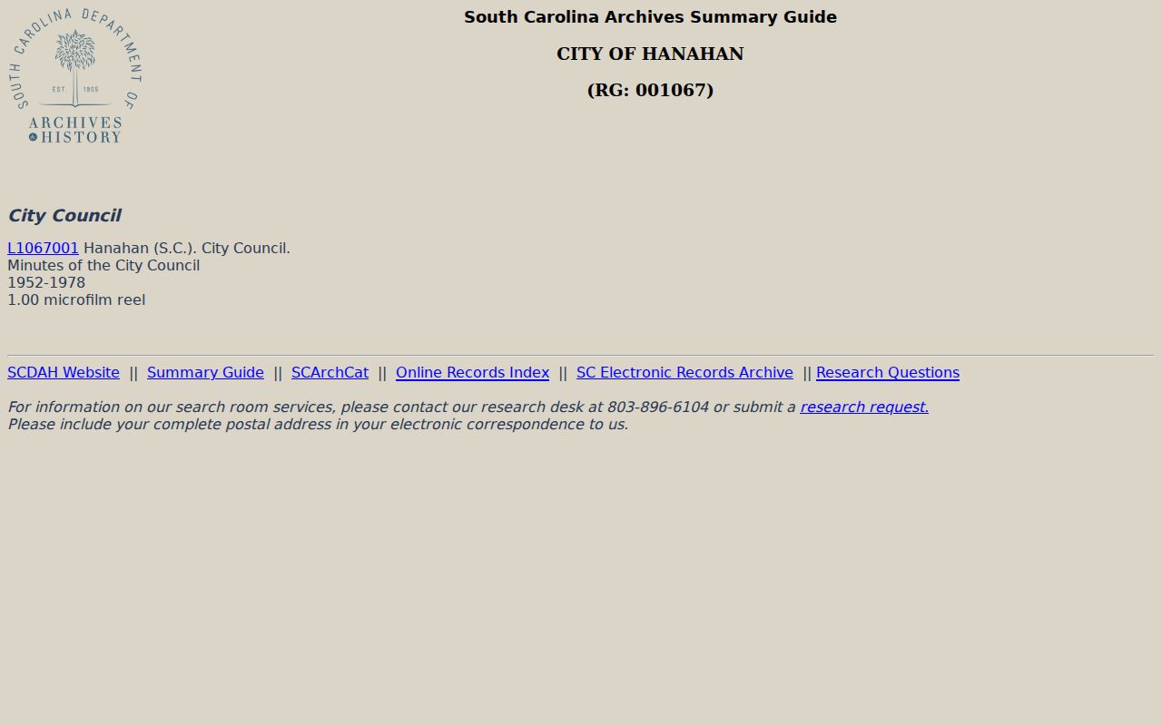
Pair a Council-minute citation with a deed, directory, tax duplicate, or released census source before assigning a household connection.
Hanahan Previous Residents in City Files
Hanahan permit, inspection, and code files can help date changes to a property, but they are not a resident list. The Hanahan permit portal requires an account, and no anonymous Hanahan public address-index search was documented. For a defined Hanahan address, date range, and file type, begin with Building and Codes through the City of Hanahan community and department route. If a Hanahan public record is not posted, make a focused request through the Hanahan NextRequest portal.
Under the South Carolina Freedom of Information Act, S.C. Code Ann. tit. 30, ch. 4, especially Section 30-4-30, a public body generally gives its determination within ten business days for a record under 24 months old or 20 business days for an older record. After a granted determination, production is generally due within 30 or 35 calendar days. Hanahan publishes department-specific hourly rates, including $20 for Building and Codes, plus $0.25 per page. State the Hanahan address, date range, file type, desired format, and willingness to receive an estimate; the Hanahan City may request a deposit up to 25 percent of anticipated cost.