
Walk Hanahan Streets to a Parcel
For the Berkeley County portion of Hanahan, the dependable order is GIS address or parcel search, tax-map number, Property Card Search, then the Register of Deeds index. The first two steps establish the physical parcel rather than guessing from a street name. Save the TMS, the situs address, and the legal description shown for the selected parcel. A situs address is the physical site; its mailing address is where notices go and can be different. The legal description identifies the land through a subdivision, lot, block, plat, or similar description. These fields give the deed search an anchor that an address alone may lack.
The method establishes a public property relationship, not a household count. Hanahan is principally in Berkeley County, but a small city portion is in Charleston County. Confirm the parcel jurisdiction before using Berkeley County sources, because a Hanahan postal address by itself does not decide the recorder or assessment office. That county check belongs at the start of every Hanahan address trail.
- Open the Berkeley County GIS Advanced Mapping application, search the Hanahan address or street, and select the matching parcel.
- Record the Hanahan TMS, situs address, legal description, and any property-linked details shown in the parcel popup.
- Use that Hanahan TMS in the Berkeley County Property Card Search to check the current assessment record.
- Carry the owner name, legal description, deed book/page, or date into the Berkeley County Register of Deeds search for the Hanahan recorded chain.
- Use historic Hanahan directory material only as a dated household clue after the land records have fixed the parcel and period.
Use Hanahan Street Directory GIS Fields
Advanced GIS is the best street-level starting point because it accepts more than one way into a Hanahan parcel. A street name uses the SHORT_NAME route; a physical location uses ADDRESS; and a TMS, owner, or parcel identifier can reach the same land record from another direction. Partial matches can return suggestions. After selecting a result, click the parcel polygon to view the property-linked context and tax-map geometry. The desktop tool also documents measurement, basic map export, and historical aerial imagery.
The official Advanced Mapping application is shown here as the Hanahan street directory's parcel starting point.
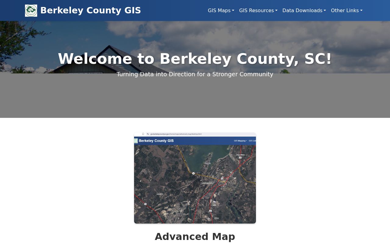
For a Hanahan street segment, use the map to select one confirmed parcel at a time. The County updates the Hanahan GIS data nightly, so a current map view still merits confirmation with the custodian when a record matters. Cloud GIS is the quicker mobile route for address, owner, TMS, and street searches with suggestions, but it lacks the Advanced application's measurement, printing, and historical-data tools.
| Portal field | Input | When it helps | Format note |
|---|---|---|---|
| Hanahan GIS Street Name | SHORT_NAME | Finding a road or segment | Partial match is supported. |
| Hanahan GIS Street Address | ADDRESS | Finding a physical address point | Suggestions may appear. |
| Hanahan GIS TMS / owner / parcel | Text search | Returning to a confirmed parcel | Uses parcel-owner and tax-map routes. |
| Hanahan GIS map selection | Parcel click | Reviewing a selected polygon | Click the target parcel, then nearby parcels separately. |
Search Hanahan Property Cards by Street
The Property Card Search is the current address-to-owner bridge for a Berkeley County Hanahan parcel. It has separate inputs for TMS, street number and street name, owner name, mobile-home decal number, and mobile-home owner. A Hanahan result can supply the parcel identifier, owner, situs and mailing clues, legal or subdivision description, assessment characteristics, and other displayed property fields. Treat the mailing field as a correspondence address, not a statement that the named owner presently lives at the Hanahan site.
Insider tip. For a Hanahan street directory search, enter the street name without Road, Drive, or another suffix. Owner searches normally use LASTNAME FIRSTNAME, and the County recommends trying the surname first.
Street number and street name can be paired in address mode. The Contains or Equals control changes how the street term is matched. If a Hanahan address result is unclear, the TMS from Advanced GIS is a more stable bridge because it identifies the parcel even when a Hanahan road label is abbreviated differently.
Match Hanahan Street Records to Sources
Each record answers a narrower question. The map places the parcel on a street. The property card supplies current assessment context. Recorded documents connect named parties to a conveyance. City files can be useful when a specific address and time are known. None creates a street-wide roster of everyone at each house.
| Address record | Hanahan keeper or route | What it can show | Access boundary |
|---|---|---|---|
| Hanahan GIS parcel and address points | Berkeley County Advanced GIS | Parcel boundaries, address context, assessment linkage, and layers | Search or click Hanahan parcels; not a household roster. |
| Hanahan property card | Berkeley County Real Property Services | TMS, owner, situs, mailing clues, and assessment context | Free browser search; owner and mailing data do not prove occupancy. |
| Hanahan recorded instruments | Berkeley County Register of Deeds | Parties, deeds, plats, mortgages, liens, satisfactions, and book/page | Party-based index, not a street-wide people list. |
| Hanahan permit or code file | Hanahan Building & Codes | Defined public address file, when available | Account, office contact, or focused request required. |
| Hanahan voter geography | Berkeley County voter map | Precinct, polling location, and political boundaries | Address or undashed TMS only; no names returned. |
For a current Hanahan street chain, use the parcel and TMS to link the GIS result to the property card and recorded instrument. Historic directory volumes are useful only when their locality and year cover the address; the historical collections belong on the Hanahan City Directories page.
Trace Hanahan Street Deed Links
The Register of Deeds index is organized around parties and document details, so it needs the Hanahan address-to-parcel bridge first. Search the present owner as a grantee, choose the matching Hanahan deed by legal description, lot, block, subdivision, plat, TMS, or book/page, and identify the seller listed as grantor. Then search that seller as an earlier grantee, checking the same land description at every turn. A grantor is the party transferring an interest; a grantee is the party receiving it.
Online index information and images are stated to run from July 1, 1983 to the present. Known book/page references can reach deed and miscellaneous images from January 1974 and plat images from 1884. The physical ROD land-record base begins in 1884. Those are different access routes, so a blank Hanahan name search is not proof that no earlier record exists. The office can also be reached by email, phone, or visit when a defined Hanahan document needs a copy or older records need checking.
Note: The ROD updates about every 15 minutes, and material still being processed may not appear online immediately.
Use Hanahan Street Directory Deed Fields
The ROD search has party, date, document-type, property-description, and book/page paths. Accept the disclaimer before a Hanahan search. A date range left blank defaults to July 1, 1983 through the present. Select grantor, grantee, or both as the Hanahan land trail requires, then select relevant instrument types or all types, open matching name entries, and use the detail listing to reach a document image when eligible.
| ROD control | Street-work use |
|---|---|
| Grantor Last/Company and First | Finds a prior seller after a Hanahan property-card or deed lead. |
| Grantee Last/Company and First | Finds a buyer or prior acquisition in the Hanahan chain. |
| Grantor or grantee checkbox | Sets the party role, or use both when the recorded trail needs both roles. |
| Date range | Limits the Hanahan period; omitting it uses the stated online default. |
| Entity type | Choose both, company, or human for the party search. |
| Instrument filters | Use the relevant types among 154 filters, including older types when needed. |
| Property description | Compares Hanahan subdivision, lot, block, section, map, phase, unit, or description. |
| Book and page | Opens a known-reference Hanahan route, including back-scanned document options. |
For earlier material, the County directs users toward Old Real Property or Old Plats where the recording predates September 14, 2015. The official ROD record remains with the office, and online material is not certified.
Request Hanahan Street Address Files
Hanahan Building & Codes is the municipal route for a defined permit, inspection, or code-enforcement file. Research did not locate an open city database for browsing every permit or code case along a Hanahan street. The City routes Hanahan permits through its GovPossible portal, which requires an account. For a targeted record, give Building & Codes the address, approximate date, and file type, then ask what is public and how it can be requested.
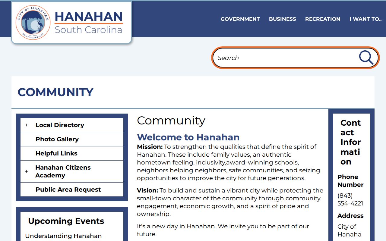
Hanahan's Community page points to the City departments and municipal resources that support this address-specific route.
If the document is not posted, use Hanahan NextRequest for a focused municipal public-records request. Under the South Carolina Freedom of Information Act, S.C. Code Ann. tit. 30, ch. 4, including §30-4-30, the request should seek existing identifiable records rather than a newly created street list.
Keep Hanahan Street Precinct Data Narrow
The County GIS voter map accepts a Hanahan address or a TMS without dashes and returns precinct, polling location, representative, and political-boundary information. It does not return names of voters on the street. MySCVotes is also an individual registration-information check that requires a name, county, and date of birth as shown on the voter card. Neither channel is a general Hanahan street directory.
South Carolina has a separate voter-list purchase process for qualifying registered voters, with defined selection criteria and restrictions. Those criteria do not promise direct Hanahan street-address browsing. Registration information can be historical or inactive, so it should not be treated as proof that a person currently occupies a particular Hanahan home.
Read Hanahan Street Names in Context
Older Hanahan research may use locality labels rather than the exact form seen today. Hanahan City history connects the community with the Saxon waterworks and rail locality, while Hanahan Highland Park dates to 1940, Yeamans Park to 1941, and Otranto was annexed in 1976. Hanahan Port Park is another historic place name. Use those terms as researched location clues, not as substitutes automatically applied to every old street address.
Postal and county boundaries add another check. A physical parcel in the small Charleston County part of Hanahan will not belong in the Berkeley land-record chain. Retain the record's dated place wording, then connect it through the parcel, TMS, plat, or legal description before drawing a conclusion.
Know Hanahan Street Record Terms
The same Hanahan address can appear in several record systems under different identifiers. These short definitions make the handoff from a map search to a land-record search easier to read.
- Parcel or TMS
- A tax-map or parcel identifier used to locate one piece of land in County systems.
- Situs address
- The physical location of the parcel, which can differ from an owner's mailing address.
- Plat
- A recorded map that can show lots, blocks, and subdivision layout for the land description.
- Criss-cross directory
- A historic address-oriented directory section, if a covered volume includes the locality and year.
A historic directory can help place a Hanahan household at an address in its publication year, but it cannot replace the current Hanahan parcel and deed chain. Check the volume's actual Hanahan coverage before relying on a street section.
Respect Hanahan Street Directory Limits
A Hanahan property card, deed, or parcel popup is not a resident list. It may identify an owner or a mailing destination, yet it does not identify every household member or prove who is presently at the Hanahan address. DMV information and utility or delivery records are not general public address sources. South Carolina's Address Confidentiality Program also provides protected participants a substitute address that public bodies must accept; do not try to infer a participant's status or reconstruct a protected Hanahan address.
Lawful use. Use Hanahan street records for personal, lawful research and verify important facts with the office that holds them. South Carolina law addresses stalking and harassment; public records do not permit watching, threatening, or targeting anyone.
For qualifying identifiers exposed in an Internet document image, a signed, page-specific request may be made to the ROD or clerk under S.C. Code §30-2-330. That route concerns Internet-image redaction, not removal of the underlying official record.